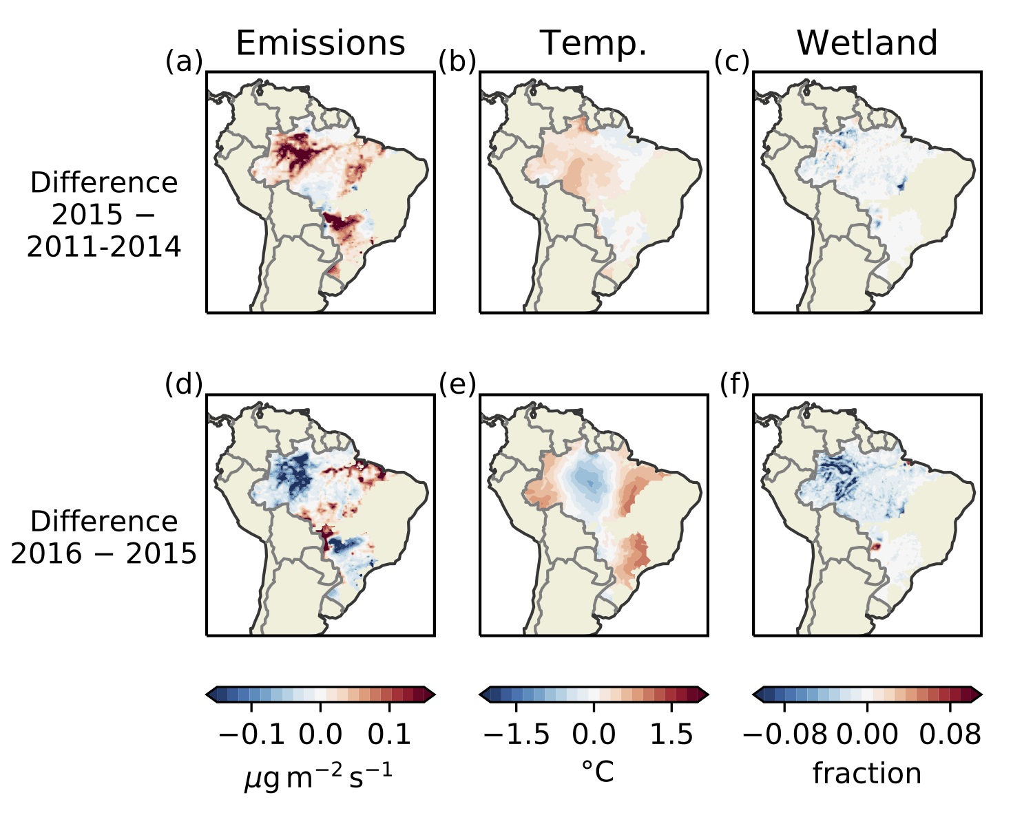
In our recent study published in Atmospheric Chemistry and Physics, we used data from the GOSAT satellite to quantify emissions of methane from Brazil between 2010-2018. Because of the distinct separation of sources in Brazil (i.e., wetlands are generally not co-located with human-made emissions from agriculture), we partitioned total methane emissions into those from the major source categories (anthropogenic, wetland and biomass burning). Our main findings are that: Brazil’s emissions rose substantially after 2014 compared to pre-2014 levels, that there was a rise in wetland emissions during the 2015-2016 El Nino driven by increases in surface temperatures. This study also demonstrates how inversions using satellite data must be carefully checked against independent data to assess the robustness of results.
